 Independent guide to Moc Chau, Ta Xua and Son La
Places · Ta Xua
Ta Xua: cloud seas above the Da River
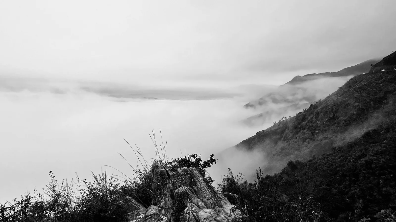
Ta Xua is a Hmong commune on a mountain range above 2,800 m on the edge of Son La. It is known for seas of cloud at dawn and for a narrow ridge called the dinosaur spine. The views depend on the weather of the previous night, and the roads up are steep, so this is a place to plan with care.
At a glance
- Peak
- About 2,865 m
- From Hanoi
- About 230–240 km
- Road time
- 4–5 hours, reported
- Nights
- 1–2
- Cloud season
- Oct–Apr
- Rooms
- About 20 homestays
Sources: VnExpress — Ta Xua travel handbook (updated June 2026); Bac Ninh state media — camping on Ta Xua (2021, from VnExpress); Vietnam Airlines — Son La travel guide · last checked .
What Ta Xua is like
Ta Xua sits on the Son La side of a range that runs along the border with Tram Tau, which belonged to Yen Bai province until Yen Bai was merged into Lao Cai in 2025. The highest point is given as 2,865 m. Since 1 July 2025 the commune of Ta Xua has absorbed its neighbours Lang Cheu and Hang Dong, and the district of Bac Yen below it no longer exists as a unit; the old district town is now part of Bac Yen commune.
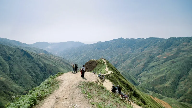
The draw is the view. After a cold, clear night, cloud settles in the valleys and the ridges stand above it like islands. Reports put the clearest chances between about 4 and 6 in the morning, with cloud sometimes lingering on the ridge until about 10. The dinosaur spine, a narrow grassy crest about 15 km from the commune centre and 5 km from Hang Dong, is walked on a trail of about 1.5 km. Other named viewpoints include the lonely tree, a wild plum on a hill that people photograph at sunset, and rocks known as the dolphin, the turtle head and the camel.
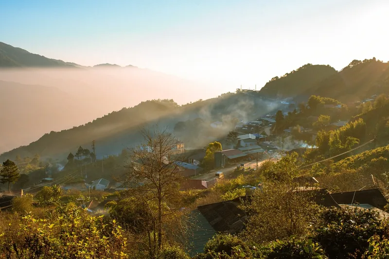
The commune is small. VnExpress counts about 20 homestays and guesthouses, no large hotels, and a capacity of 700 to 800 visitors at a time. Above about 1,500 m there are Shan tuyet tea trees more than a century old, and above 2,600 m mossy primeval forest. It is a farming community first, and many viewpoints are on or next to fields.
Sources: VnExpress — Ta Xua travel handbook (updated June 2026); Bac Ninh state media — camping on Ta Xua (2021, from VnExpress); VietNamNet — cloud hunting on Ta Xua (2019); Resolution 1681/NQ-UBTVQH15 on Son La commune-level units (legal text) · last checked .
How many nights
Plan on at least one night on the mountain. The views happen at dawn, and VnExpress advises against arriving in the evening, so the usual pattern is to arrive in daylight, sleep in Ta Xua, and be at a viewpoint before sunrise. The source budgets about 1.5 to 2 million VND per person for two days and one night.
Two nights double your chance of a cloud sea, which depends on the weather and cannot be booked. A trek to the summit area is a bigger undertaking: the Vietjet Air travel guide describes a route of 15 to 18 km, often done over three days and two nights from the Tram Tau side, with more than half of it along cliff edges.
Sources: VnExpress — Ta Xua travel handbook (updated June 2026); Vietjet Air travel guide — Ta Xua trek (2025) · last checked .
When to go
| Months | Conditions | For you if |
|---|---|---|
| October – November | Cloud season begins; cool, often clear | You want clouds without the deepest cold |
| December – March | Most cited months for cloud seas; highs 14–19°C, nights 9–10°C or lower | You can handle cold nights |
| April | End of the cloud season | You accept a lower chance of a cloud sea |
| May – September | Rainy season; slippery trails and landslide risk on the access road | You are flexible and watch the forecast |
Sources differ slightly: VnExpress and VietNamNet give October to April for cloud hunting, while an older VnExpress piece republished by Bac Ninh state media names December to March. The chance is higher after a cold night that follows a sunny day. Check the forecast and be ready to wait a morning.
Sources: VnExpress — Ta Xua travel handbook (updated June 2026); VietNamNet — cloud hunting on Ta Xua (2019); Bac Ninh state media — camping on Ta Xua (2021, from VnExpress); Vietjet Air travel guide — Ta Xua trek (2025) · last checked .
Getting there, and the road up
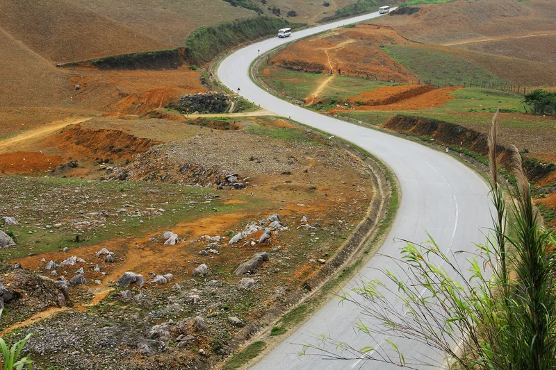
From Hanoi the usual route heads north-west to Son Tay, crosses the Red River at Trung Ha, follows Highway 32 to the Thu Cuc junction and then Highway 37 through Phu Yen to the old Bac Yen town. From there the final climb to Ta Xua is steep. VnExpress reports that the main road to the commune centre is now concrete and that 16-seat vehicles reach the commune, but side roads are narrow, steep and winding with drops on both sides.
Overnight limousine vans from Hanoi were reported at about 700,000 VND return, leaving around 22:00 and taking about five hours with stops. Motorbikes can be hired in Ta Xua; if you are not a confident mountain rider, the same source suggests a local motorbike taxi, with the price agreed first. Read the roads and weather page before deciding to ride.
Sources: VnExpress — Ta Xua travel handbook (updated June 2026); VietNamNet — cloud hunting on Ta Xua (2019); UK Foreign Office — Vietnam safety and security · last checked .
Road and weather risks
On 10 August 2024 a landslide of about 50,000 cubic metres came down at Km13+600 on Provincial Road 112 in Ta Xua village, burying 20 bungalows and other buildings, killing one person and injuring two, and cutting the road. The provincial authorities then advised tourists to limit visits to Ta Xua during the rain and flood season.
From May to September, check whether the road is open on the day you travel, avoid driving after dark, and do not stay in buildings directly below cut slopes during heavy rain. The trails turn slippery and the trek routes are prone to landslides in June to September.
In the cloud season the risks are cold and fog. Nights on the ridge are cold, the source on camping notes that there are no restaurants or services on the mountain, and camping on the peak itself needs experience of difficult terrain. Fog can reduce visibility on the road to a few metres in the early morning, which is when people drive to the viewpoints.
Sources: VOH — Son La advises limiting Ta Xua visits in floods (August 2024); Vietjet Air travel guide — Ta Xua trek (2025); Bac Ninh state media — camping on Ta Xua (2021, from VnExpress) · last checked .
Costs
| Item | Reported range | Note |
|---|---|---|
| Homestay or guesthouse room | About 200,000–1,000,000 VND a night | VnExpress, updated 2026 |
| Return limousine van from Hanoi | About 700,000 VND | Overnight departures around 22:00 |
| Drink at a cloud-view café | About 30,000–60,000 VND | |
| Porter and guide for the trek | About 400,000–600,000 VND | Vietjet Air guide, 2025 |
| Two days, one night, per person | About 1.5–2 million VND | Source’s overall budget |
Rooms sell out at public holidays and around Tet. Prices change; confirm before you travel.
Sources: VnExpress — Ta Xua travel handbook (updated June 2026); Vietjet Air travel guide — Ta Xua trek (2025) · last checked .
Pictures



Who should skip Ta Xua, and when
- Travellers with only one day. You cannot be on the ridge at dawn without sleeping there.
- Anyone uneasy with heights or steep, narrow mountain roads with open drops.
- Visitors in the rainy season who cannot change their dates if the road is closed or the forecast turns.
- Groups expecting hotel comfort. Rooms are homestays and guesthouses, often unheated, and space is limited at holidays.
- Inexperienced riders planning to hire a motorbike for the climb.
Other pages for Ta Xua
Common questions
Questions readers ask
Is a cloud sea certain if I go in the cloud season?
No. It depends on the previous night’s weather. Cold nights after sunny days give the highest chance. Two nights improve your odds.
Can a normal car reach Ta Xua?
VnExpress reports that the main road to the commune centre is concrete and that 16-seat vehicles reach it. Side roads to some viewpoints and homestays are steeper and narrower.
Do I need a guide for the dinosaur spine?
The short walk of about 1.5 km is done without a guide by many visitors in dry weather. The multi-day trek to the summit area is different: sources advise going with a guide and porter and not alone.
What happened with the 2024 landslide?
On 10 August 2024 a large landslide on Provincial Road 112 in Ta Xua killed one person, injured two and closed the road. The province advised limiting visits during the rain and flood season.
Related
Read next

Planning · Safety
Roads and weather
Fog, cold, rainy-season landslides, night buses and motorbike rules in Son La, with sources and dates.
Read more
Planning · Timing
When not to go
The periods to avoid in Son La: rainy-season landslides, Tet and holiday crowds, fog and cold, with alternatives.
Read more
Planning · Transport
Getting there
Bus stations, routes, journey times and fares from Hanoi to Moc Chau, Ta Xua and Son La town, with road notes.
Read more
Culture
Villages and etiquette
Who lives where in Son La, homestays, photographs, gifts and the courtesies that matter in Thai and Hmong villages.
Read more
Planning · Time
How many nights
Planning estimates for nights in Moc Chau, Ta Xua, Son La town and Quynh Nhai, and sample routes of 2 to 6 nights.
Read more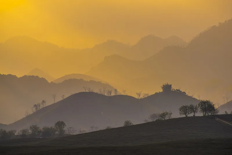
Places
Places
Moc Chau, Ta Xua, Quynh Nhai lake and Son La town compared: altitude, distance, season and time needed.
Read more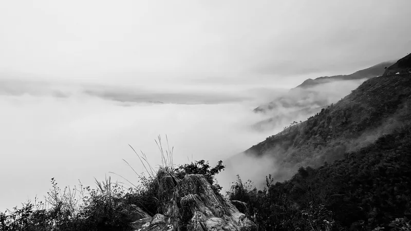
Start planning
Send a correction or a question
Tell us which page you mean, what you found and when. A link to an official source or a photo of a price board helps us check it.