 Independent guide to Moc Chau, Ta Xua and Son La
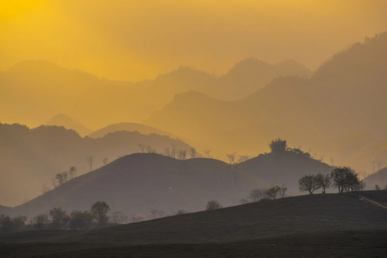
Places
Places in Son La, side by side
Four areas account for most visits to the province. They differ in altitude, road access, season and how much time they need. This page compares them, then links to a full page for each.
Choose a place
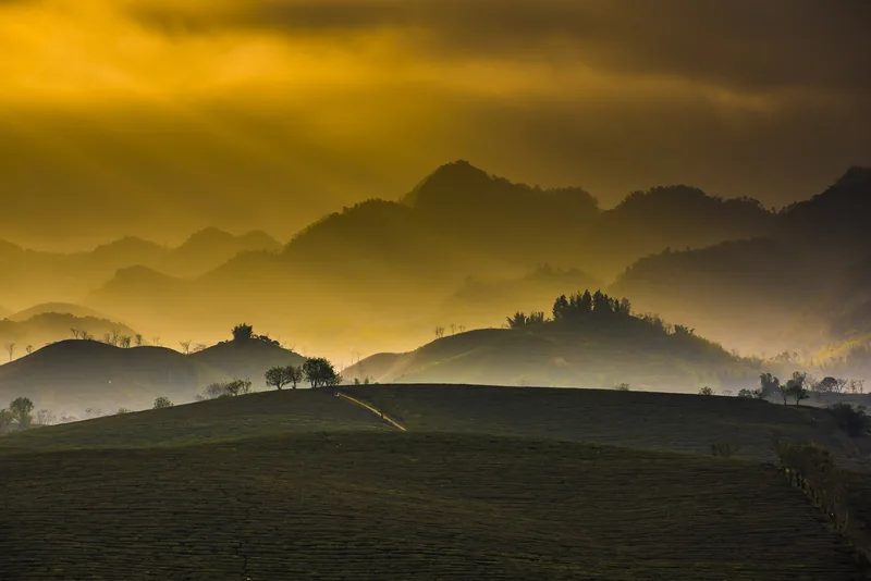
Plateau
Moc Chau
Tea, plum and pasture at about 1,050 m, about 200 km from Hanoi.
Read the Moc Chau page
Mountains
Ta Xua
Ridges above 2,800 m, cloud seas from autumn to spring, steep access.
Read the Ta Xua page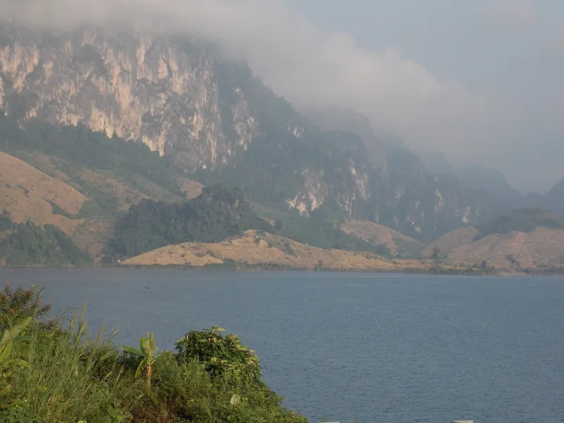
Lake
Quynh Nhai lake
A flooded valley with islands, boats and a 918 m bridge.
Read the Quynh Nhai page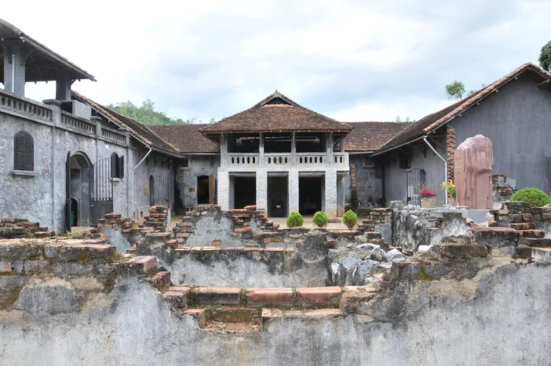
Town
Son La town
The provincial capital and its colonial-era prison museum.
Read the Son La town pageSide by side
| Moc Chau | Ta Xua | Quynh Nhai lake | Son La town | |
|---|---|---|---|---|
| Altitude | About 1,050 m | Peak over 2,800 m; villages lower | Valley floor, reservoir level | Valley town |
| From Hanoi by road | About 200 km | About 230–240 km | Beyond Son La town | About 310 km |
| Reported time from Hanoi | 3–5 hours | 4–5 hours | A long day; usually via Son La town | About 6.5 hours |
| Planning estimate | 1–2 nights | 1–2 nights | 1 night or a day trip from Son La town | 1 night |
| Months that suit it | Late Oct–Feb; Apr–May | Oct–Apr for clouds | Sep–Apr, drier months | Most of the year |
| Main road | Highway 6 | Highways 32 and 37 via Phu Yen and Bac Yen | Provincial roads and Highway 279 | Highway 6 |
Distances are as given by the sources, rounded; journey times are the ranges they report and vary with traffic, weather and road works. The Son La town to Moc Chau figure, about 110 km, is the difference between the two distances from Hanoi along the same highway, so treat it as an estimate.
Sources: Vietnam National Authority of Tourism — Moc Chau; Voice of Vietnam — Moc Chau plateau; VnExpress — Ta Xua travel handbook (updated June 2026); Bac Ninh state media — camping on Ta Xua (2021, from VnExpress); VnExpress — Son La travel handbook (March 2024); Vietnam Airlines — Son La travel guide; Mia.vn — Quynh Nhai guide (travel blog, June 2026) · last checked .
How the places fit together
Highway 6 is the spine. It runs from Hanoi through the former Hoa Binh province, now part of Phu Tho, up onto the Moc Chau plateau, then down through Yen Chau and Mai Son to Son La town, and on towards Dien Bien. Moc Chau and Son La town therefore sit on one line, and a traveller heading for Dien Bien Phu passes both.
Ta Xua is off that line. The usual approach from Hanoi is north-west through Son Tay, across the Red River at Trung Ha, then along Highway 37 through Phu Yen to Bac Yen and up the final steep climb. Linking Ta Xua with Moc Chau is possible, but it means a long cross-country day; most people do them as separate trips.
Quynh Nhai lake lies north of Son La town, on the reservoir created by the Son La dam. It can be seen as a day trip from the town, or on the way between Son La and Lai Chau or Dien Bien by Highway 279, which crosses the lake on the Pa Uon bridge.
Sources: VnExpress — Ta Xua travel handbook (updated June 2026); VnExpress — Son La travel handbook (March 2024); Hanoi Times — Pa Uon bridge; VnEconomy — Son La section of the Hoa Binh–Moc Chau expressway (February 2026) · last checked .
Other places we do not cover in depth
Son La has much more than these four areas: Pha Din pass on the road to Dien Bien, the Ngoc Chien hot springs and hawthorn blossom, Pha Luong peak near the Lao border, the lakes and buckwheat of Van Ho, and the Muong Tac field in Phu Yen. They appear in the sources we read, but we have not yet checked enough about access and conditions to write useful pages. If you know them well, the contact page is the place to tell us.
Sources: Vietnam Airlines — Son La travel guide; VnExpress — Son La travel handbook (March 2024); VnEconomy — Thai community tourism in Quynh Nhai (January 2025) · last checked .
Choosing between them
- Short trip, first visit: Moc Chau. It is the closest and has the widest choice of rooms.
- Landscape photography in winter: Ta Xua for cloud seas, Moc Chau for mustard fields and frosty mornings.
- History: Son La town and its prison museum, ideally on the way to Dien Bien Phu.
- Slow days on water: Quynh Nhai, from a base in Son La town or on the road north.
- Rainy season (June to August): Moc Chau and Son La town, which are on the main highway, rather than Ta Xua.
Common questions
Questions readers ask
Can I see Moc Chau and Ta Xua on one trip?
Yes, but they are on different roads from Hanoi. Allow at least three nights, and expect one long driving day between them.
Which place is closest to Hanoi?
Moc Chau, at about 200 km by Highway 6. Reported bus times are three to five hours.
Is Quynh Nhai worth the extra time?
If you are already in Son La town or travelling on to Lai Chau or Dien Bien, it adds a lake landscape that the rest of the province does not have. As a separate trip from Hanoi it is a long way for one day on the water.
Do these pages recommend hotels?
No. They give reported price ranges for rooms so that you can budget, without naming or rating businesses.
Related
Read next

Places · Moc Chau
Moc Chau
Moc Chau plateau: what it is really like, nights needed, seasons, how to get there, costs and when to skip it.
Read more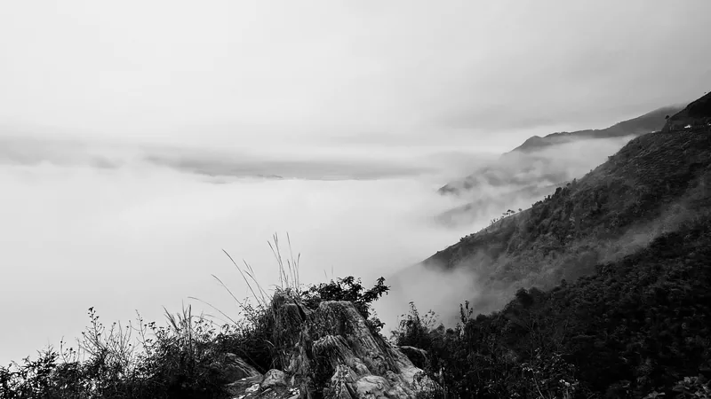
Places · Ta Xua
Ta Xua
Ta Xua for cloud hunting: the ridge, the seasons, the roads up from Bac Yen, costs and when to skip it.
Read more
Places · Quynh Nhai lake
Quynh Nhai lake
Quynh Nhai and the Son La reservoir: boats, islands, the Pa Uon bridge, Thai villages, seasons and when to skip it.
Read more
Places · Son La town
Son La town
Son La town: the prison museum on Khau Ca hill, Ban Mong hot spring, Thai villages, costs and when to skip it.
Read more
Planning · Time
How many nights
Planning estimates for nights in Moc Chau, Ta Xua, Son La town and Quynh Nhai, and sample routes of 2 to 6 nights.
Read more
Planning · Transport
Getting there
Bus stations, routes, journey times and fares from Hanoi to Moc Chau, Ta Xua and Son La town, with road notes.
Read more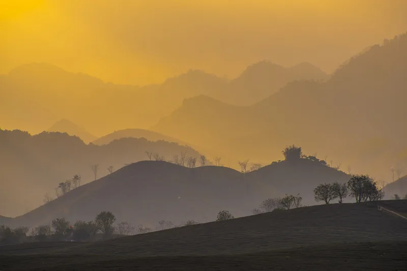
Start planning
Send a correction or a question
Tell us which page you mean, what you found and when. A link to an official source or a photo of a price board helps us check it.